Shipping Estimate
USA
- USA
- CAN
- USA
- CAN
Ships within 48 hours · Estimated delivery Jul 9 - Jul 14
 Promo Codes Available:
For Your Every Summer RSVP, with Code: SUMMER15
Description
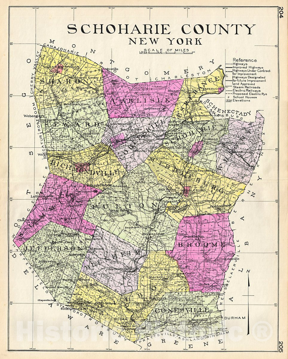
Historic Map : Century Map of Schoharie County, New York, 1912, Vintage Wall ArtA highly appealing 1912 large format folio map of Schoharie County, New York, issued for the New Century Atlas of Counties of the State of New York. The map covers from Sharon to Gilboa, including Carlisle, Seward, Richmondville, Summit, Jefferson, Blenheim, Fulton, Middleburg, Broome, Conesville, Cobleskill, Wright, Schoharie and Esperance. There is appealing detail throughout with the roads, towns, and railroad lines clearly represented. Various
A highly appealing 1912 large format folio map of Schoharie County, New York, issued for the New Century Atlas of Counties of the State of New York. The map covers from Sharon to Gilboa, including Carlisle, Seward, Richmondville, Summit, Jefferson, Blenheim, Fulton, Middleburg, Broome, Conesville, Cobleskill, Wright, Schoharie and Esperance. There is appealing detail throughout with the roads, towns, and railroad lines clearly represented. Various communities are identified with larger districts highlighted in vivid pastels. This map was issued as plate nos. 204 and 205 in Everts' New Century Atlas of Counties of the State of New York.
Shipping Notes
- Free Standard Shipping on $100+ Orders to the USA.
- Except Preorder products are shipped in 48 hours.
- Delivery to the USA:
- Standard Shipping : 3-10 business days
- If time is of the essence, please consider selecting expedited delivery for faster service.
Exchange/Return Notes
- We offer a 30-day return/exchange service after receiving.
- Final sale items are not eligible for returns or exchanges.
- To process your return/exchange, please contact us at [email protected]
- Please click here for more details>>> Return & Exchange Policy